


SmallGIS Ltd offers many products, services and satellite remote sensing and GNSS applications for the domestic market. The company is an authorized business partner of leading satellite operators and works on the market a satellite services broker. SmallGIS offers advanced high level innovation services using GIS data and converting satellite imagery. These analyses are conducted by an interdisciplinary team of highly qualified specialists and experts in such areas as remote sensing, photogrametry and GNSS systems.
The company conducts specialized remote sensing and GIS training for beginners and advanced users. It owns a computer lab certified by the European Computer Drive License Geographical Information System, in which since 2011 it conducts training and exams to obtain the ECDL GIS certificate.
The SmallGIS Ltd company is a specialized Geographic Information Systems software producer, based on Open Source and technologies of the ESRI company. Geoinformatic products are created under the ™SprintMAP brand.
The company offers the following GIS and remote sensing products and services for the domestic market:
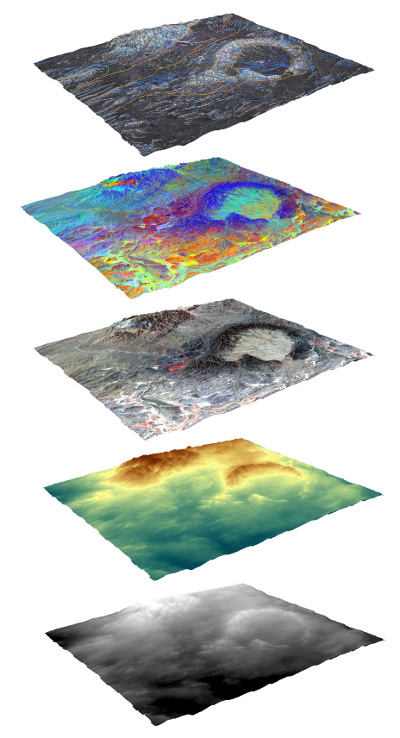
- imaging and optical orthophotomaps
- radar imaging
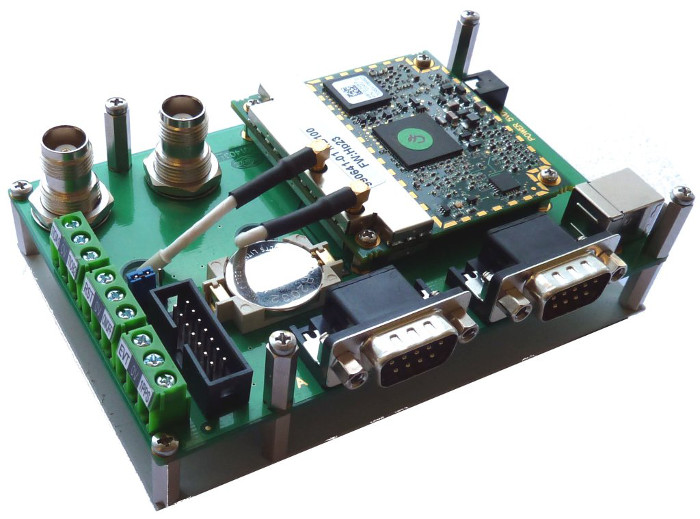
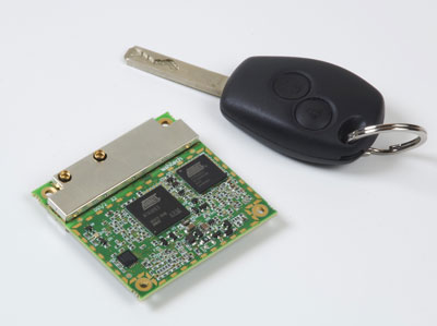
- Spectra Precision (Ashtech) and Geneq Inc. GNSS receivers
- mobile GIS software
- mobile armored computers
- applications from the SprintMAP family – geoinformatical software working on the ArcGIS™ ESRI Inc. environment, which enables the conducting of specialized tasks
- dedicated GIS systems
- remote sensing and photogrametric services
- GIS description and analysis
- conducting industry training
- ECDL training and examination
AREAS OF ACTIVITY IN THE SPACE SECTOR:
- Optics
- Thermal
- Applications based on data from EO satellites
- Applications based on data from navigation satellites
- Integrated applications
MAIN SPACE PROJECTS:
Participation to to PECS research and implementation project „Satellite imagery implementation in the city agglomeration development process”. The project is conducted together with Space Research Center of the Polish Academy of Sciences (ESA), Jagiellonian University, Agriculture University, Institute of Spatial and Cadastral Systems and the Austrian GeoVille company. The project is ordered by the European Space Agency (ESA).
RESEARCH AND DEVELOPMENT AREAS:
Cooperation with scientific institutes and units of the Polish Academy of Sciences. Mutual research and developments projects financed by domestic and international funds.
LABORATORIES AND TECHNICAL FACILITIES:
A certified ECDL GIS laboratory with a dozen mobile computer work stations with specialized GIS software.
CLIENTS:
- Space Research Center of the Polish Academy of Sciences
- Ministry of Foreign Affairs
- Head Office of Land Surveying and Cartography
- regional centers for geodetic and cartographical documentation
- city and rural municipalities
- State Forests
- environmental protection institutions
- private geodesy companies
- research and science units.
PARTNERS:
- DigitalGlobe
- e-Geos
- Astrium
- RapidEye
- Spectra Precision
- Geneq Inc.
- igiTerra
- ESRI


