


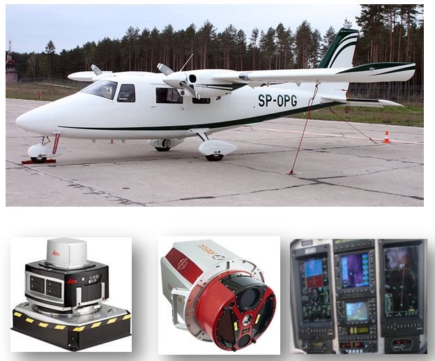

OPEGIEKA is a Polish company operating on the GEO/ICT market since 1989. It implements business and scientific projects for clients in Poland, Europe and the USA. It has the status of a Research and Development Center (CBR) granted by the Minister of Economy, the first level of industrial security, the ability to protect classified information SECRET, EU SECRET, NATO SECRET and ISO 9001 and ISO 27000 certificates. OPEGIEKA is a complementary company offering a full range of geo-spatial services: obtaining spatial data, their processing, the building dedicated IT systems and delivering products/services to end customers and their maintenance. OPEGIEKA uses its own data processing Date Center (Tier III) operating under the brand DC4B.PL to build cloud services and technologies related to machine learning. OPEGIEKA has its own planes, drones, LIDAR remote sensing sensors, large format, medium-format and thermal air cameras. Our own IT department ensures the creation of advanced IT systems for clients using commercial and open source technologies such as GIS, ETL and Big Data.
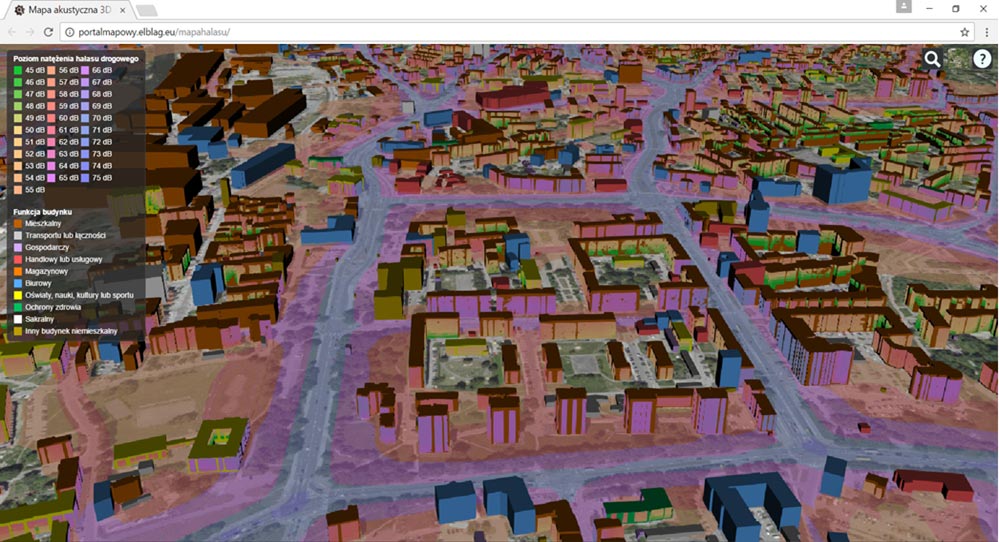
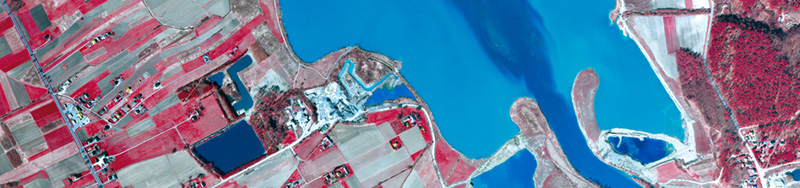
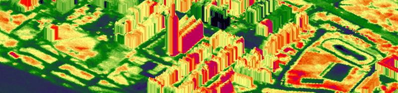
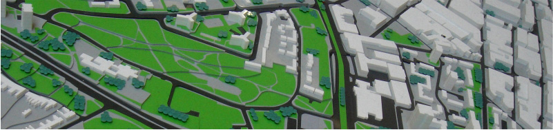
IT & ICT – portals, travel portals, management support systems, data warehouses, educational platforms, data center services, hosting, collocation, virtual servers • Aerial Platform – airplanes: laser scanning, aerial photographs, thermal and infrared imaging, 3D city models; drones: vertical, diagonal, video and thermovision images • Remote sensing, Photogrammetry and Cartography – orthophotomaps; topographic civil and military maps; acoustic, sozological, hydrographic, soil and thematic maps • Geomatics – numerical ODGiK support, spatial data processing, data repositories, scans of scanners and maps • Geodesy – investment service, supplementary measurements, property valuation and estimation
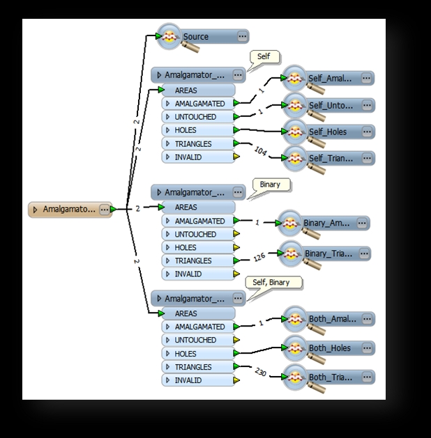
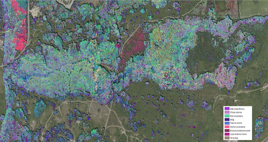
MAIN SPACE PROJECTS: „The Fablab for geodata-driven innovation – by leveraging Space data in particular, in Universities 2.0” – FabSpace 2.0 – project implemented jointly with UNIVERSITE PAUL SABATIER TOULOUSE III, AEROSPACE VALLEY, UNIVERSITA DEGLI STUDI DI ROMA TORVERGATA, BIC LAZIO SPA, UNIVERSITE DE LIEGE, WSL, TECHNISCHE UNIVERSITAT DARMSTADT, CESAH GMBH CENTRUM FUR SATELITENNAVIGATION HESSEN, POLITECHNIKA WARSZAWSKA, INSTITUTE OF COMMUNICATION AND COMPUTER SYSTEMS, ATHENA RESEARCH AND INNOVATION CENTER IN INFORMATION COMMUNICATION & KNOWLEDGE TECHNOLOGIES, European Business and Innovation Centre Network, TERRANIS SAS, IDGEO RESEARCH AND DEVELOPMENT PROJECTS: • TREEQUANT – Development of a self-learning IT analytical platform supporting the forest management process based on image data from photogrammetric cameras and point clouds of a multi-spectral laser scanner • FOTO II – Implementation of the results of research and development by developing a remote sensing platform based on an innovative method of vegetation inventory • HYDRO – Integrated acoustic-optical system for inventory of hydrotechnical objects • NUBILUM – Research and development works on elaboration of an autonomous cloud ecosystem for GIS and other systems using big data • GEOMONITOR – Experimental adaptation of aero geophysical methods to develop tools to effectively monitor the state of the levees and other terrestrial objects • CAFaaS – Research on the use of cloud computing in the self-assessment process in accordance with the CAF • TAGIS – Research on the use of space-time analytical systems in decision support systems • Voice Maps – GIS system which helps the blind navigate in an urban areas • OMNIGIS – Using SOA, SaaS, PaaS for spatial data infrastructure RESEARCH AND DEVELOPMENT AREAS: • Decision support systems • Simulation and prediction systems • Processing processes, algorithms, technological lines • Image processing • Drones for special applications • Remote Sensing Sensors • Cloud computing – predefined servers for web services, GIS, etc. • Multi-resolution databases CUSTOMERS: • Government Administration • Regional Self-Government Administration • Municipal Authorities • The Polish Army • Industrial plants • GEO ICT companies


